CLIMATE RESILIENCE
Climate vulnerability in mountain regions.
Assessing climate risk and adaptation priorities in environmentally sensitive regions through geospatial frameworks.
See related projects ↗I work at the intersection of Earth observation, climate risk and environmental governance — connecting evidence from the landscape with decisions that matter to people.
Scientist, Department of Ecology, Environment & Remote Sensing, Government of Jammu & Kashmir · Secretary, J&K Environmental Appraisal Committee.

Years of experience in geospatial and environmental work
Distinct journal articles listed in the supplied CV
Policy reports cited in professional CV summary
Invited lectures and professional talks
Research in numbers, across places and through time.
My work begins with questions about place: where change is occurring, who is exposed, what evidence can explain it, and how that evidence can improve public decisions.
Satellite imagery, field observations and geospatial datasets.
Climate scenarios, risk indicators, spatial modelling and GeoAI.
Translate spatial patterns into meaningful evidence of risk.
Support adaptation, public planning and environmental assessment.
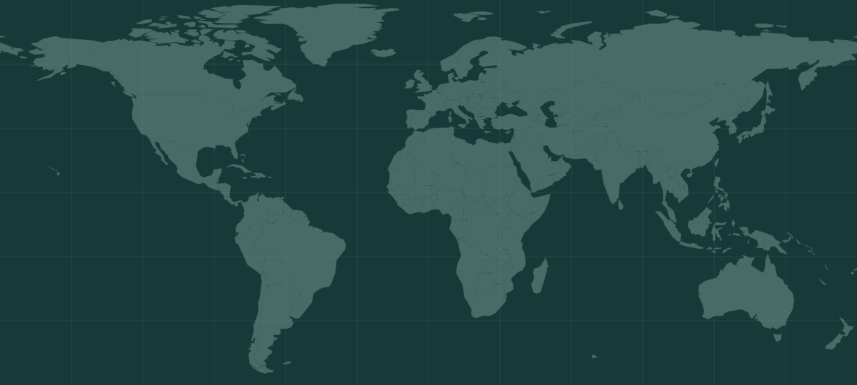
Explore selected places connected with publications and environmental projects. Markers represent reference locations, not precise study boundaries.
How exposure, sensitivity and adaptive capacity shape climate risk.
↗02River systems, high mountain hazards and waterbody monitoring.
↗03Remote sensing, spatial modelling and AI-enabled environmental evidence.
↗04Turning geospatial science into planning, appraisal and adaptation decisions.
↗Selected applications of remote sensing, environmental modelling and science-based decision support.
Assessing climate risk and adaptation priorities in environmentally sensitive regions through geospatial frameworks.
See related projects ↗Multi-temporal satellite monitoring of Wular and Dal–Nigeen Lakes, connecting observations to management questions.
Explore water monitoring ↗Spatial data infrastructure, site suitability, forest demarcation and environmental appraisal support.
Explore decision support ↗