Across landscapes.
Between science
and decisions.
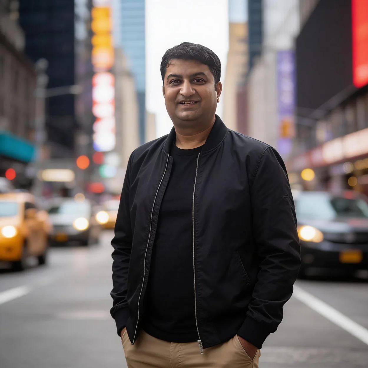
My professional journey connects scientific research, public institutions and the use of geospatial evidence in environmental and climate decision-making.
 Research · Practice · Public purpose
Questions that
need maps.
I am a geospatial scientist with more than two decades of experience applying remote sensing and GIS to environmental change, climate vulnerability and public decision-making.
My work spans the Himalayan region and other landscapes where spatial evidence can illuminate complex relationships between hazards, ecosystems, land use and communities.
As a scientist in the Department of Ecology, Environment & Remote Sensing, Government of Jammu & Kashmir, I have been involved in multidisciplinary climate and geospatial programmes, while contributing to environmental appraisal and adaptation planning.
Research and public service are complementary parts of my work: knowledge becomes more valuable when it can be interpreted and applied.
From field evidence
to applied science.
Milestones assembled from the supplied CV; the timeline includes overlapping education and professional roles.
Geospatial foundations
Training in environmental science, ecology, remote sensing and GIS, including an M.Tech in Remote Sensing & GIS at SRM University.
Earth observation and application
Satellite-based biodiversity mapping, healthcare accessibility and foundational geospatial project work.
Spatial infrastructure and climate work
Scientific and technical leadership in state spatial data infrastructure, forest-fire risk, climate applications and decision-support systems.
Scientist & programme leadership
Government geospatial and climate programmes, national collaborations, environmental appraisal and policy-facing scientific work.
Doctoral research
Ph.D. in Geoinformatics from Suresh Gyan Vihar University, with a thesis on agricultural climate vulnerability in Kashmir.
Learning and
professional growth.
Ph.D. in Geoinformatics
2022 · Suresh Gyan Vihar University, Jaipur
M.Tech in Remote Sensing & GIS
2009 · SRM University, Chennai
M.Sc. in Ecology & Environment
2005 · Sikkim Manipal University
National Geospatial Fellow
2024 · IIT Bombay / FOSSEE
National e-Governance Award
2012 · Innovative use of technology
Young Scientist Award
2010 · J&K Academy of Sciences